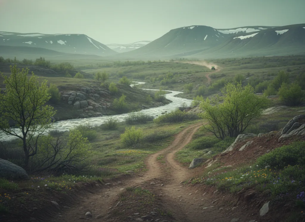
Catoosa Wildlife Management Area is a 79,000-acre Tennessee Wildlife Resources Agency WMA spanning the Cumberland Plateau across Cumberland, Fentress, Morgan, and Putnam counties, a massive contiguous block of state-managed land centered between Crossville and Jamestown on the upper Cumberland Plateau. The WMA contains the headwaters of the Obed Wild and Scenic River system and the upper drainages of the Clear Fork and New River watersheds that define the plateau's western edge. At this scale, Catoosa is a significant OHV riding resource for plateau-country riders in the central Tennessee market: the TWRA manages designated ATV and off-highway vehicle trails on portions of the WMA, providing access to isolated plateau terrain that would otherwise be closed to motorized use. The plateau landscape is the defining character of Catoosa OHV riding: the flat-to-gently-rolling sandstone plateau surface, the steep-walled gorge edges where the Obed drainages cut through to expose the lower coal-bearing strata, and the second-growth hardwood forest (oak, hickory, tulip poplar, and red maple), that has recovered from decades of coal mining and timbering activity that shaped the WMA's current land base and trail infrastructure. OHV trails in Catoosa connect the WMA's riding system into the broader Cumberland Plateau OHV corridor that includes private parks to the north (Brimstone, Royal Blue) and the Big South Fork national park unit. TWRA requires a high-impact habitat conservation permit for OHV use in designated zones. The TWRA Crossville regional office (931-484-9571) manages current permit requirements, OHV zone maps, and seasonal closures, Catoosa's autumn and winter hunting seasons impose periodic full-closure periods that OHV riders must plan around.
Hours
Open on designated OHV routes; seasonal closures during managed hunts and after wet conditions. Tennessee TWRA high-impact habitat permit required.
Phone
931-484-9571Trip openings, seasonal updates, and the occasional deal, straight to your inbox.
FAQ
Everything you need to know before you get started.
Have a question, or ready to book? Reach out and we’ll get right back to you.